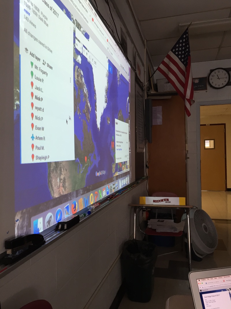
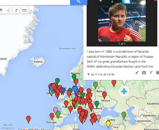
 | Social Studies teacher John Fogarty used the collaborative nature of Google's platform to create a small scale crowdsourcing map with his junior students. During a series of lessons about immigration and ancestry, Mr. Fogarty asked his students to contribute to a map (through Google Maps) in which we gave all student editing "rights". This shareable link was placed on the classes' Schoology pages. Students added locations to the map of their grandparents, parents (or even their own) immigration. The points were color-coded by time period (for example: immigration that occurred between 1840 and 1879 was indicated by a Light Blue marker). Students were also asked to contribute small stories and pictures where applicable. The completed map (all 5 of his classes contributed) sparked interesting class discussions about trends and commonalities. Left: Technology Coach, Tina Bacolas, assisting Mr. Fogarty with the Google Maps introduction. |
 RSS Feed
